
What we do
Four things, end to end
From orbit to the ground to the report that proves it.
01
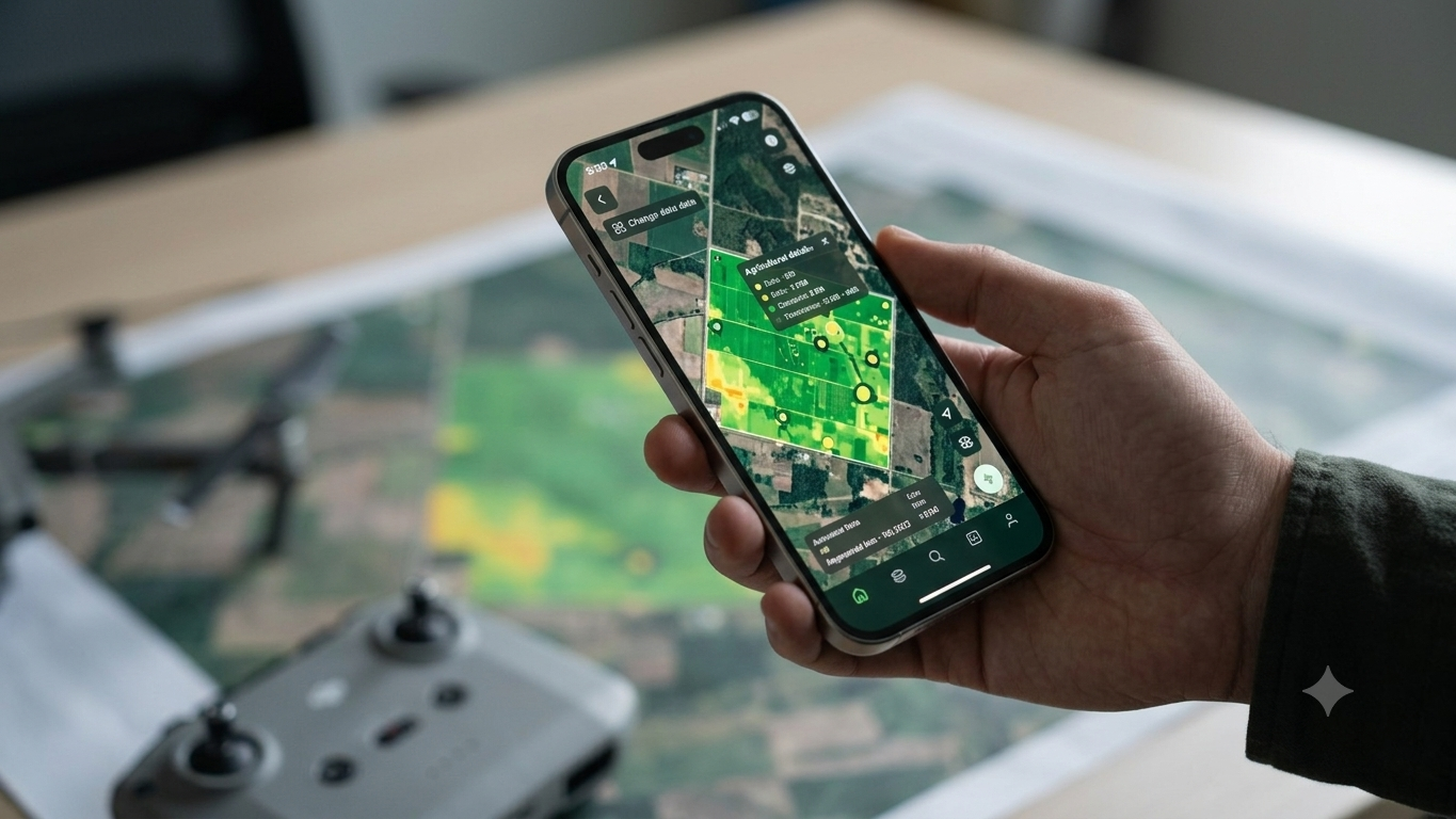
See your land from above
Satellite and drone imagery turned into answers about a specific parcel — how healthy the canopy is, where water sits, what has changed since last season.
- Vegetation health and change detection
- Soil moisture and flood exposure
- Boundary and area verification
- Time-series comparison across seasons
02
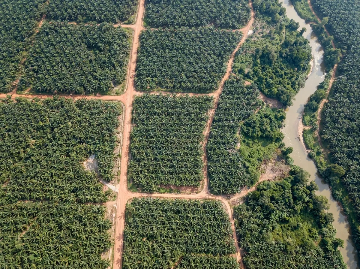
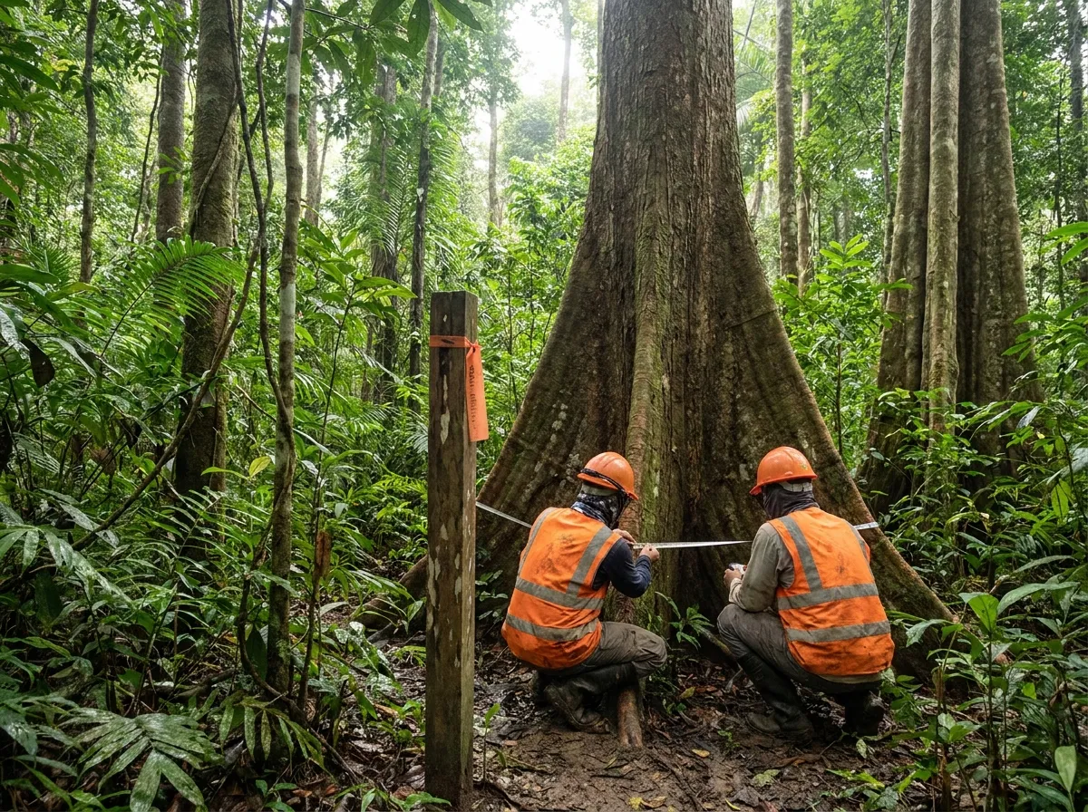
Verify it on the ground
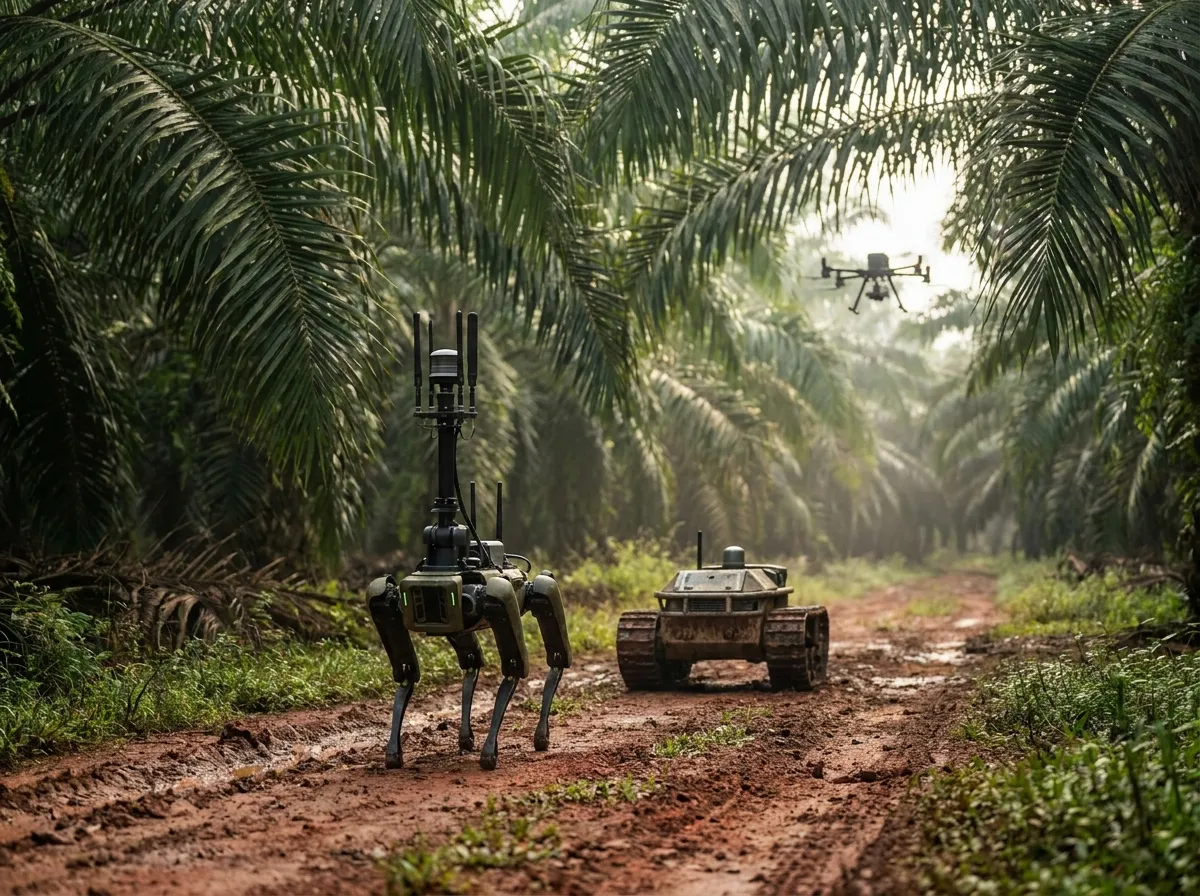
Imagery tells you where to look. Ground and aerial robots tell you what is actually there, including under canopy where satellites and GPS both fail.
- Ground and aerial robotic survey
- Navigation without GPS, under canopy
- Plot-level and tree-level measurement
- Automated tree and fruit classification
03
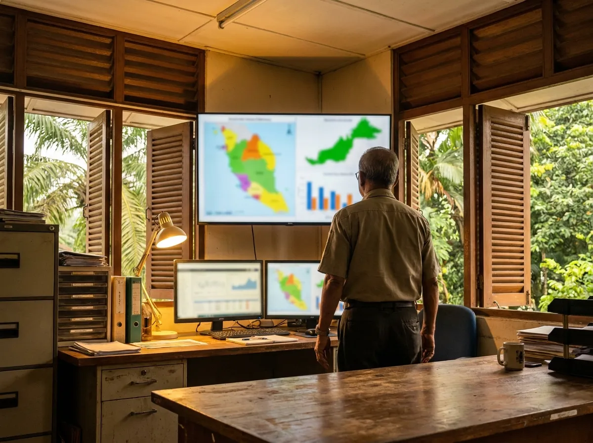
Run it as a system
The analysis is only useful if it reaches the people making daily decisions. We build the platforms that put it in front of them.
- Land and estate management platforms
- Operational dashboards and reporting
- Custom software built to your workflow
- Integration with the systems you already run
04
Prove it to others
Banks, regulators, buyers and auditors all want evidence rather than assertion. We produce the documentation that survives their scrutiny.
- Carbon project development
- ESG and sustainability advisory
- Digital measurement, reporting and verification (dMRV)
- Reporting aligned to buyer and regulator requirements
Tell us what you are working on
A plantation, a forest, a carbon project, or a question about land you are considering. We will tell you what we can find out.